|
|

Maine Yankee Core BarrelJun 30, 2004
|
|

View of Yankee Maine nuclear power station.Jun 30, 2004
|
|

View of Yankee Maine nuclear power station.Jun 30, 2004
|
|

Aerial view of Yankee Maine nuclear power station.Jun 30, 2004
|
|

Aerial view of Yankee Maine nuclear power station.Jun 30, 2004
|
|

Millstone Nuclear Generating StationJun 30, 2004
|
|

Aerial view of Yankee Maine nuclear power station.Jun 30, 2004
|
|

CR1 Demo North End 2Jun 30, 2004
|
|

CR1 Demo 2Jun 30, 2004
|
|

CR1 Demo North EndJun 30, 2004
|
|

CR1 DemoJun 30, 2004
|
|
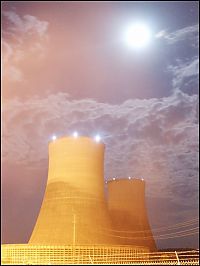
Sequoyaha Cooling Towers at NightJun 28, 2004
|
|
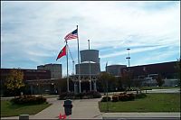
Sequoyaha SGRP PrepJun 28, 2004
|
|
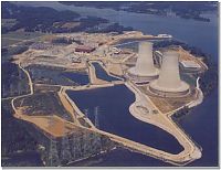
Arial View of SequoyahJun 28, 2004
|
|
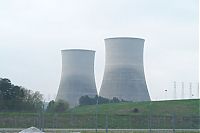
Sequoyaha Cooling TowersJun 28, 2004
|
|
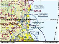
Zion MapJun 21, 2004
|
|
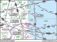
Zion MapJun 21, 2004
|
|
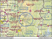
Yankee Rowe MapJun 21, 2004
|
|
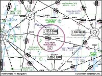
Yankee Rowe MapJun 21, 2004
|
|
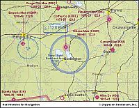
Wolf CreekJun 21, 2004
|
|
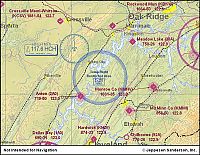
Watts Bar MapJun 21, 2004
|
|
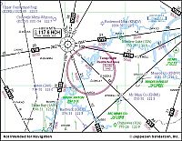
Watts Bar MapJun 21, 2004
|
|
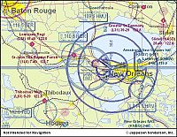
Waterford MapJun 21, 2004
|
|
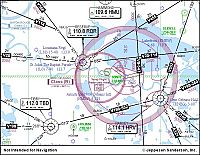
Waterford MapJun 21, 2004
|
|
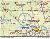
VC Summer MapJun 21, 2004
|
|
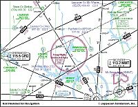
VC Summer MapJun 21, 2004
|
|
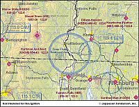
Vermont Yankee MapJun 21, 2004
|
|
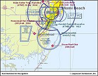
Turkey Point MapJun 21, 2004
|
|
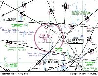
Vermont Yankee MapJun 21, 2004
|
|
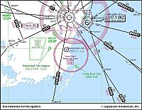
Turkey Point MapJun 21, 2004
|
|
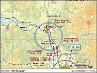
Trojan MapJun 21, 2004
|
|
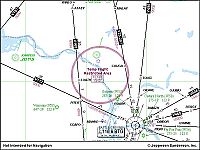
Trojan MapJun 21, 2004
|
|
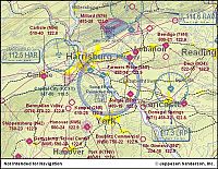
Three mile Island MapJun 21, 2004
|
|
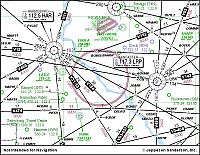
Three mile Island MapJun 21, 2004
|
|
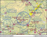
Susquehanna MapJun 21, 2004
|
|
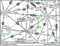
Susquehanna MapJun 21, 2004
|
|
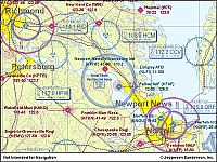
Surry MapJun 21, 2004
|
|
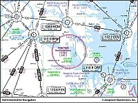
Surry MapJun 21, 2004
|
|
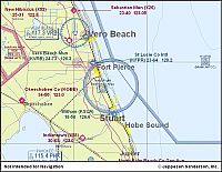
St. Lucie MapJun 21, 2004
|
|
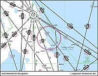
St. Lucie MapJun 21, 2004
|
|
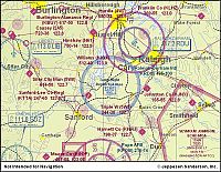
Shearon Harris MapJun 21, 2004
|
|
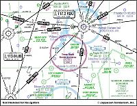
Shearon Harris MapJun 21, 2004
|
|
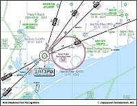
South Texas Project MapJun 21, 2004
|
|
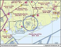
South Texas Project MapJun 21, 2004
|
|
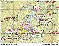
Sequoyah MapJun 21, 2004
|
|
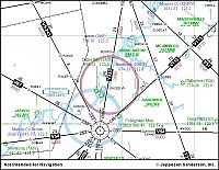
Sequoyah MapJun 21, 2004
|
|
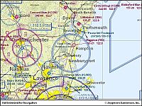
Seabrook MapJun 21, 2004
|
|
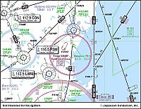
Seabrook MapJun 21, 2004
|
|
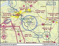
Savannah River MapJun 21, 2004
|
|
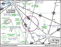
Savannah River MapJun 21, 2004
|
|
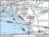
San Onofre MapJun 21, 2004
|
|
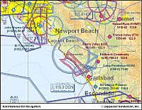
San Onofre MapJun 21, 2004
|
|
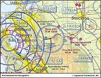
Sandia National LabsJun 21, 2004
|
|
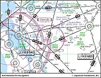
Sandia National LabsJun 21, 2004
|
|
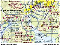
Salem MapJun 21, 2004
|
|
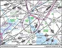
Salem MapJun 21, 2004
|
|
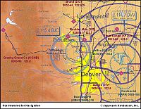
Rocky Flats MapJun 21, 2004
|
|
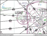
Rocky Flats MapJun 21, 2004
|
|
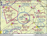
H.B. Robinson MapJun 21, 2004
|
|
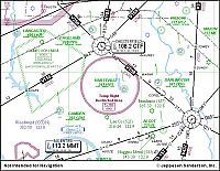
H.B. Robinson MapJun 21, 2004
|
|
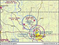
River Bend MapJun 21, 2004
|
|
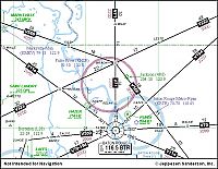
River Bend MapJun 21, 2004
|
|
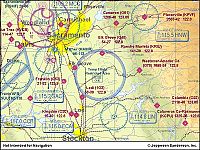
Rancho Seco MapJun 21, 2004
|
|
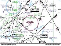
Rancho Seco MapJun 21, 2004
|
|
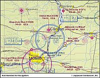
Quad Cities MapJun 21, 2004
|
|
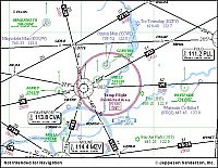
Quad Cities MapJun 21, 2004
|
|
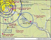
Prairie Island MapJun 21, 2004
|
|
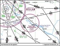
Prairie Island MapJun 21, 2004
|
|
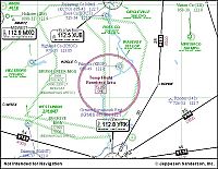
Portsmouth MapJun 21, 2004
|
|
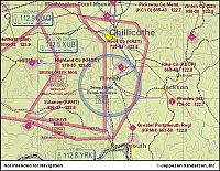
Portsmouth MapJun 21, 2004
|
|
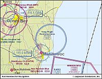
Point Beach MapJun 21, 2004
|
|
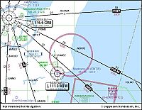
Point Beach MapJun 21, 2004
|
|
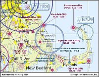
Pilgrim MapJun 21, 2004
|
|
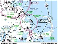
Pilgrim MapJun 21, 2004
|
|
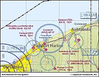
Perry MapJun 21, 2004
|
|
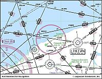
Perry MapJun 21, 2004
|
|
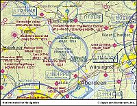
Peach Bottom MapJun 21, 2004
|
|
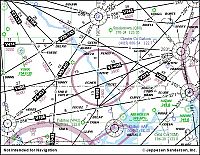
Peach Bottom MapJun 21, 2004
|
|
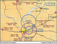
Pantex MapJun 21, 2004
|
|
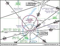
Pantex MapJun 21, 2004
|
|
| 6670 files on 84 page(s) |
 |
 |
 |
 |
 |
65 |  |
 |
 |
 |
|
