Last additions - Region IV (West)
|
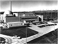
Pathfinder Nuclear Generating StationDec 19, 2005
|
|
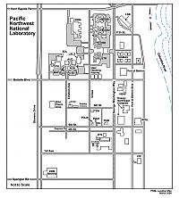
Pacific Northwest National Lab (PNNL) MapDec 19, 2005
|
|
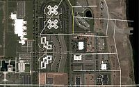
Pacific Northwest National Lab (PNNL) Satelite ImageDec 19, 2005
|
|
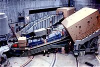
SPECTROMETER IN END STATION AT THE STANFORD LINEAR ACCELERATOR.Dec 19, 2005
|
|
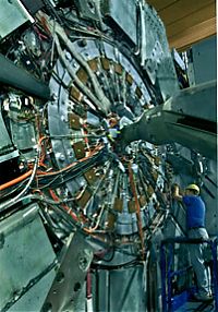
TECHNICIAN AT THE B FACTORY'S HUGE BABAR DETECTOR SYSTEM AT THE STANFORD LINEAR ACCELERATOR CENTER.Dec 19, 2005
|
|
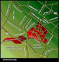
Stanford Linear Accelerator MapDec 19, 2005
|
|

Stanford Linear Accelerator SpeakersDec 19, 2005
|
|
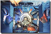
Stanford Linear Accelerator DetectorDec 19, 2005
|
|
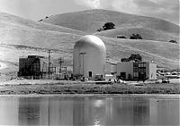
First of a breed: The Vallecitos boiling water reactor in Pleasanton, Calif., became the first nuclear generating station to be privately owned.Dec 12, 2005
|
|
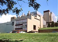
Elk River Power PlantDec 12, 2005
|
|
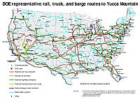
Yucca Mountain Shipping Route MapNov 22, 2005
|
|
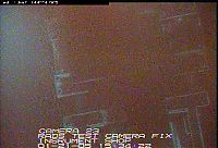
A "Brown cloud" usually signifies a shattered bladeNov 03, 2005
|
|
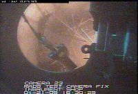
The entangled "spaghetti" mess of retrieval after a shattered bladeNov 03, 2005
|
|

One of the 2 RP's that provided the highest standard of job coverage and controlNov 03, 2005
|
|
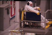
Operator making proper use of LDWA :)) By the way, this is our second favorite Operator!!Nov 03, 2005
|
|
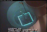
Loading "Hot" pieces into HIRP (square), cold pieces out of HIRP. Piece by piece.....Nov 03, 2005
|
|
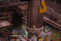
Loaded Liner CaskNov 03, 2005
|
|
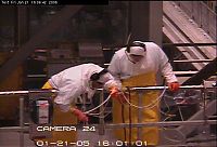
Tommy and Josh Processing CRD BladesNov 03, 2005
|
|
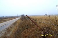
Section of Falls City perimeter fence leaning outward, located near perimeter sign P38 alongOct 30, 2005
|
|
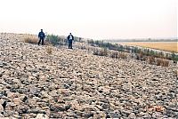
Typical vegetation growth found on the side slopes of the Falls City disposal cell.Oct 30, 2005
|
|
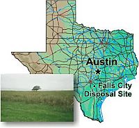
Falls City MapOct 30, 2005
|
|

Falls City Disposal Site Fact SheetOct 30, 2005
|
|

Falls City Disposal Site Annual Compliance ReportOct 30, 2005
|
|
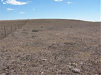
View east along the north fence line of Edgemont Site.Oct 30, 2005
|
|
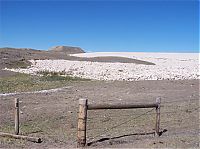
Outlet of the Edgemont drainage channel.Oct 30, 2005
|
|
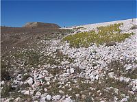
Vegetation on the Edgemont embankment face.Oct 30, 2005
|
|
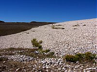
Vegetation on the Edgemont embankment face.Oct 30, 2005
|
|
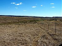
Southeast corner of Edgemont site with cattle inside and outside the fence.Oct 30, 2005
|
|
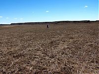
View southeast across the Edgemont disposal cell top.Oct 30, 2005
|
|
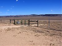
Edgemont Site entranceOct 30, 2005
|
|
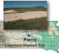
Edgemont MapOct 30, 2005
|
|
Edgmont Fact SheetOct 30, 2005
|
|
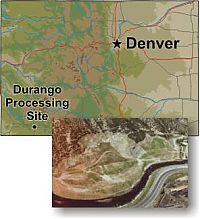
Durango Processing MapOct 30, 2005
|
|

Durango Fact SheetOct 30, 2005
|
|
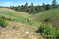
Durango CellOct 30, 2005
|
|
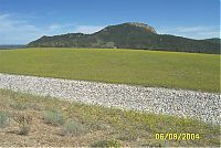
Durango CellOct 30, 2005
|
|

Durango Annual Compliance ReportOct 30, 2005
|
|
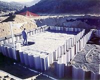
Oct 30, 2005
|
|
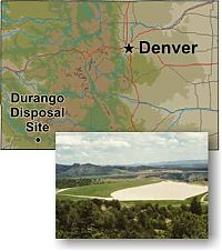
Durango MapOct 30, 2005
|
|
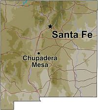
Chupadera Mesa MapOct 30, 2005
|
|

Fact SheetOct 30, 2005
|
|
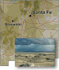
Bluewater MapOct 30, 2005
|
|
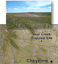
Bear Creek MapOct 30, 2005
|
|
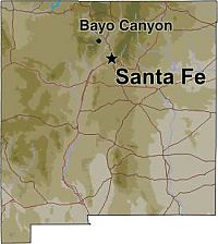
Bayo Canyon MapOct 30, 2005
|
|
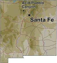
Acid/Pueblo Canyon MapOct 30, 2005
|
|
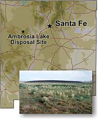
Ambrosia Lake MapOct 30, 2005
|
|
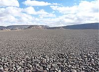
Ambrosia Lake CellOct 30, 2005
|
|
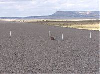
Ambrosia Lake CellOct 30, 2005
|
|
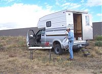
Ambrosia Lake SamplingOct 30, 2005
|
|
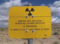
Ambrosia Lake SignOct 30, 2005
|
|

Fact SheetOct 30, 2005
|
|
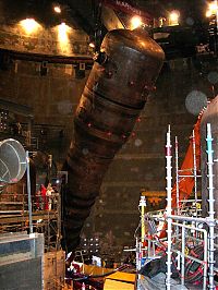
Steam generator in ContainmentOct 28, 2005
|
|
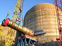
Steam GeneratorOct 28, 2005
|
|
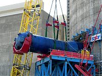
Steam GeneratorOct 28, 2005
|
|
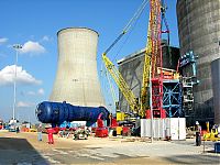
Steam GeneratorOct 28, 2005
|
|
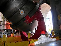
Oct 28, 2005
|
|

Put me in Coach!Oct 06, 2005
|
|

Somebody call for a crane?Oct 06, 2005
|
|

Steam Generator Fresh off the boatOct 06, 2005
|
|

Old Turbine rotors before removalOct 06, 2005
|
|

Turbine DeckOct 06, 2005
|
|
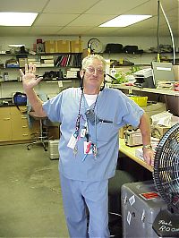
'SA' MarionSep 30, 2005
|
|
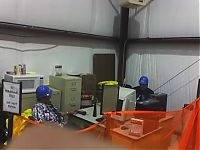
Rod & Jean at the 'Yard' control point!Sep 28, 2005
|
|
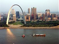
Generators on the way to Callaway 2005Sep 27, 2005
|
|
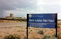
Sep 20, 2005
|
|
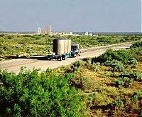
Sep 20, 2005
|
|
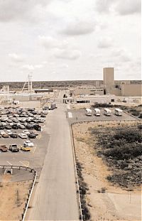
WIPPSep 20, 2005
|
|
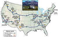
WIPP RoutesSep 20, 2005
|
|
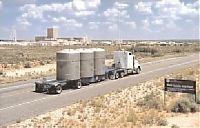
WIPPSep 20, 2005
|
|

Sep 20, 2005
|
|
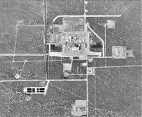
USGS photo 22 Oct 1996Sep 20, 2005
|
|
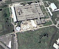
TCAAP Last DaysSep 20, 2005
|
|
Sep 20, 2005
|
|
Sep 20, 2005
|
|
Sep 20, 2005
|
|
Sep 20, 2005
|
|
Sep 20, 2005
|
|

Sep 20, 2005
|
|
Sep 20, 2005
|
|
Sep 20, 2005
|
|
| 1942 files on 25 page(s) |
 |
 |
 |
 |
 |
10 |  |
 |
 |
 |
|
